Elk Knob State Park

Updated: April 2019
Stunning Panoramic Summit Views
The Elk Knob State Park is located circa 17 miles (27 km) north from Milepost 291 off the Blue Ridge Parkway and about 11 miles (18 km) north of Boone NC.
The 3,680-acre park opened in 2003 and offers from its summit at 5,520 feet (1,682 meters) stunning long-range panoramic views of the valleys below.
The summit has two lookouts, a south lookout, and a north lookout.

View from the south lookout: In the center of the picture is Rich Mountain with an elevation of 5,372 feet (1,637 meters) and on the right is Snake Mountain (5,560 feet -1,695 meters). On the far left in the distance is Calloway Peak, the highest point of Grandfather Mountain with an elevation of 5,964 feet (1,817 meters).

The north lookout is the summit of Elk Knob at an elevation of 5,520 feet (1,682 meters). The platform features a bench on either side. Similar to the south lookout, an information sign explains the mountain range in view.
The park has four different trails. Please use your discretion.
Summit Trail
A 1.9-mile (3 km) moderate to strenuous trail, known as the Summit Trail, leads to the top, a rise of 890 feet (271 meters) from the parking lot at 4,630 feet (1,411 meters). The trail is well marked with blue markers and generally well maintained.
The Summit Trail is a 1.9-mile (3 km) moderate to strenuous hike, leading to the top of Elk Knob. The rise from the parking lot to the summit is 890 feet (271 meters). The trail is well marked with blue signs and is also well maintained.

Some parts of the path have a stone staircase built into the trail, especially during the first half of the ascent. Did you know that a large number of volunteers helped to construct the trails in Elk Knob State Park?

Over the course of the ascent, you will notice that the vegetation changes from lush green and tall trees to more sparse vegetation and shorter more weathered trees.
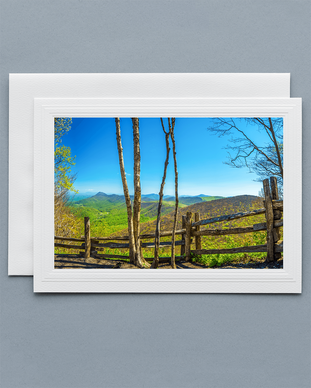
Send a lovely Greeting Card with a real photograph of Elk Knob State Park
All Greeting Cards are handmade by us in the U.S.A.

The south lookout has two benches to enjoy a delicious picnic with stunning panoramic views as a backdrop. An information sign at the lookout maps the mountains that are in sight.

The north lookout is the summit of Elk Knob at an elevation 5,520 feet (1,682 meters). The platform features two benches on either side. Similar to the south lookout, an information sign explains the mountain range in view.
Beech Tree Trail
The 1-mile (1.6 km) easy Beech Tree Trail loops around the Picnic Area and is ideal with young children. The picnic area has 11 picnic sites, each with a charcoal grill and a picnic table. Two of the 11 picnic sites are wheelchair accessible.
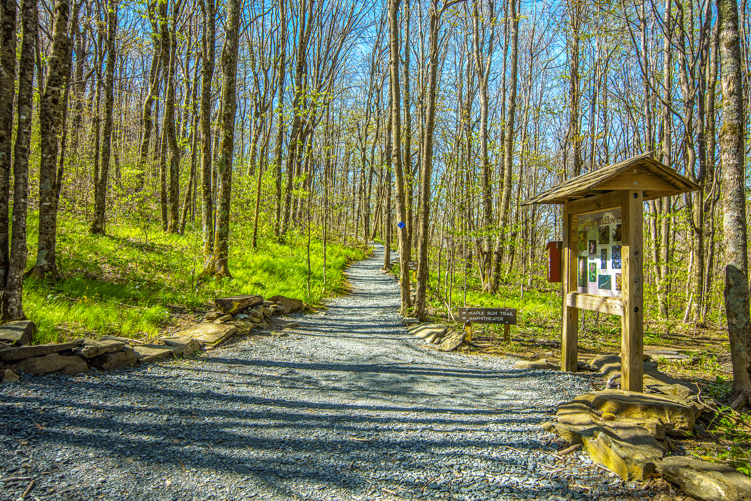
Maple Run Trail
The 0.5-mile (0.8 km) easy Maple Run Trail, located towards the park entrance, is designed for cross-country skiing.
Backcountry Trail
The 2-mile (3.2 km) moderate to strenuous Backcountry Trail winds down into a valley, where the campsites are located.
Three sites will accommodate up to six people with space for two tents on each site. Campers can self-register at the trailhead.
The two group sites must be reserved at least three days in advance at the park office.
Zone Camping is a space along a ridge where campers can set up a tent on any part of the ridge between two posts marking the beginning and end of the ridge.
Cross-Country Skiing
Weather permitting, the Elk Knob State Park stays open during the winter and offers cross-country skiing on the Maple Run Trail, located towards the park entrance. Skiers must bring their equipment.

5564 Meat Camp Road, Todd, NC 28684
Directions:
From the Blue Ridge Parkway exit at Milepost 291, Boon exit, towards Boone NC. Follow US 321 for 5.5 miles (8.9 km). In Boone, turn right on US 221. Follow for 0.8 miles (1.2 km). Turn right on East King Street. Follow for 0.6 miles (1 km). Turn left on NC 194. Follow for 4.3 miles (7 km). Turn left on Meat Camp Road. Follow for 5.5 miles (8.9 km). The entrance to the Elk Knob State Park is on the right.
Park Office:
Tel.: → (828) 297-7261
November to February:
Mon. to Sun.: 8am to 6pm.
March to May:
Mon. to Sun.: 7am to 8pm.
June to August:
Mon. to Sun.: 7am to 9pm.
September to October:
Mon. to Sun.: 7am to 8pm.
All year.
Free admission.
Parking at the start of the Summit Trail or at the Picnic Area.
The Elk Knob State Park features four different trails. Please use your own discretion. The 1.9-mile (3 km) moderate to strenuous Summit Trail leads to the top of Elk Knob. The 1-mile (1.6 km) easy Beech Tree Trail loops around the Picnic Area. The 0.5-mile (0.8 km) easy Maple Run Trail, located towards the park entrance, is designed for cross-country skiing. The 2-mile (3.2 km) moderate to strenuous Backcountry Trail winds down into a valley, where the campsites are located.
Note: Hiking boots (best) or firm running shoes (at a minimum) are recommended, especially for the Summit Trail and the Backcountry Trail.
The park has 11 picnic sites, each equipped with a charcoal grill and a picnic table. Two of the 11 picnic sites are wheelchair accessible.
Restrooms are located at the Picnic Area.